Tag: Facts
-
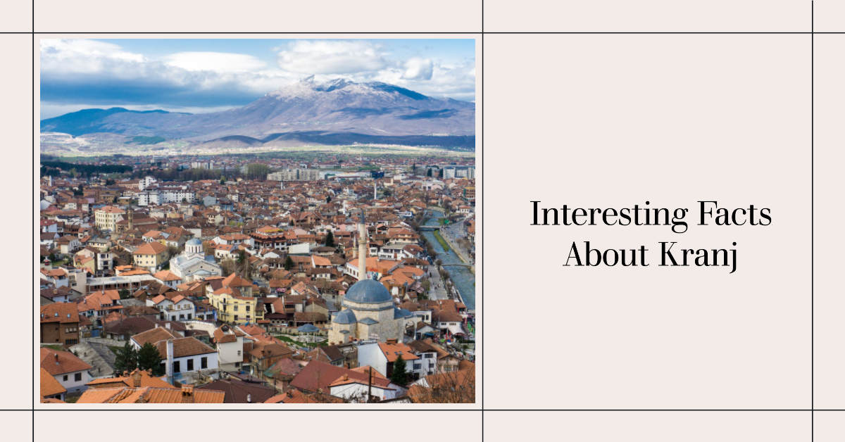
10 Interesting Facts About Kranj
Facts About Kranj Kranj Information Total Area of Kranj 26.3 km2 (10.2 sq mi) Municipality Kranj Total Population 37,941, as of 2020 Time zone UTC+01 (CET) UTC+02 (CEST) Official Website https://www.visitkranj.com/en/
-
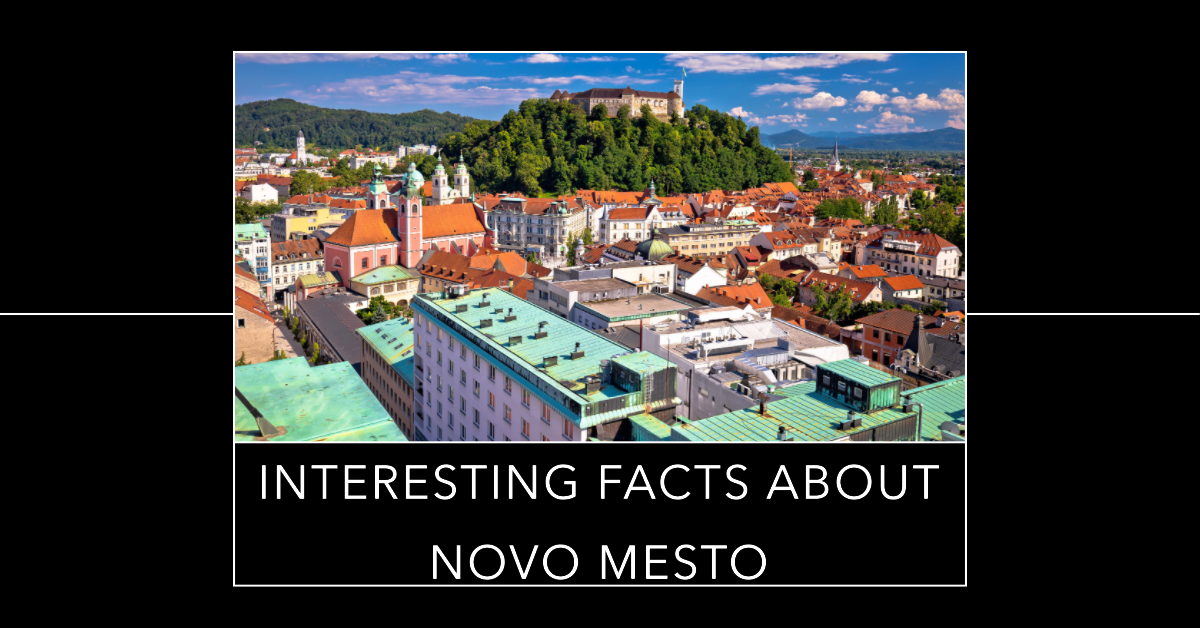
10 Interesting Facts About Novo Mesto
Facts About Novo Mesto Mesto Information Founded 7 April 1365 as Růdolfswerde Founded by Rudolf IV of Austria Total Area 33.3 km2 (12.9 sq mi) Elevation 181 m (594 ft) above sea level Official Website https://www.novomesto.si/en/
-
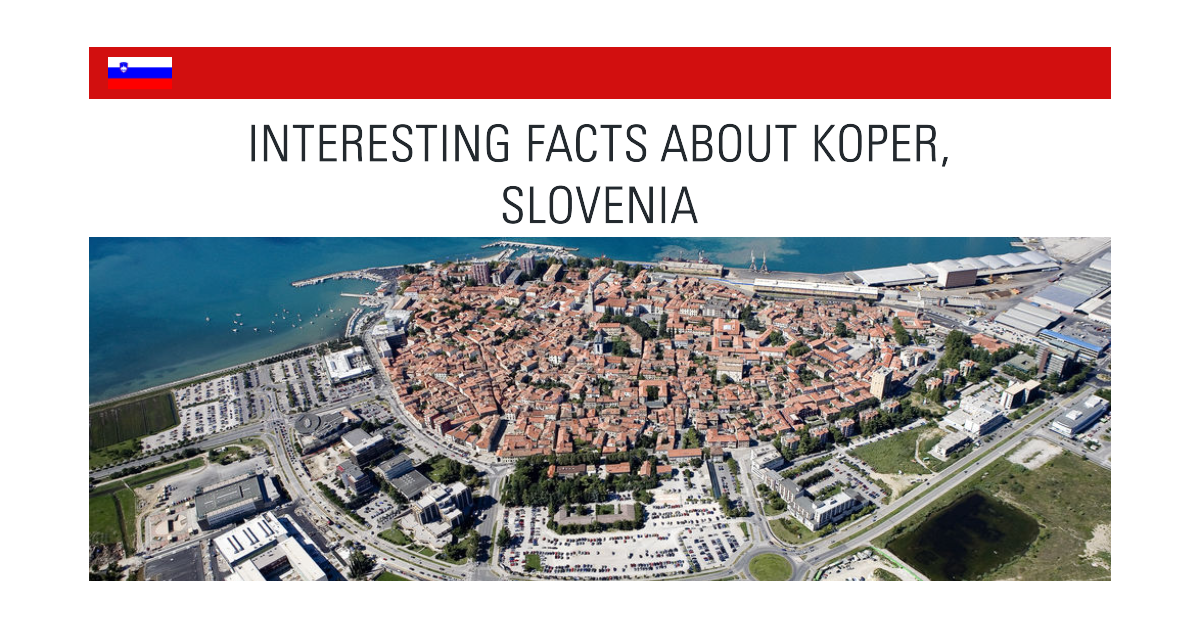
10 Interesting Facts About Koper
Facts About Koper Koper Information officially Language Slovene and Italian Total Area 13.0 km2 (5.0 sq mi) Elevation 3 m (10 ft) above sea level Estimated Population 25,753 Official Website https://www.koper.si/sl/
-
20 Interesting Facts About Ptuj
Facts About Ptuj Ptuj City Information Ptuj Information Type City First mention AD 69 Town privileges 1376 Founded by Vespasian Elevation 232 m (761 ft) above sea level Official Website https://visitptuj.eu/en/
-
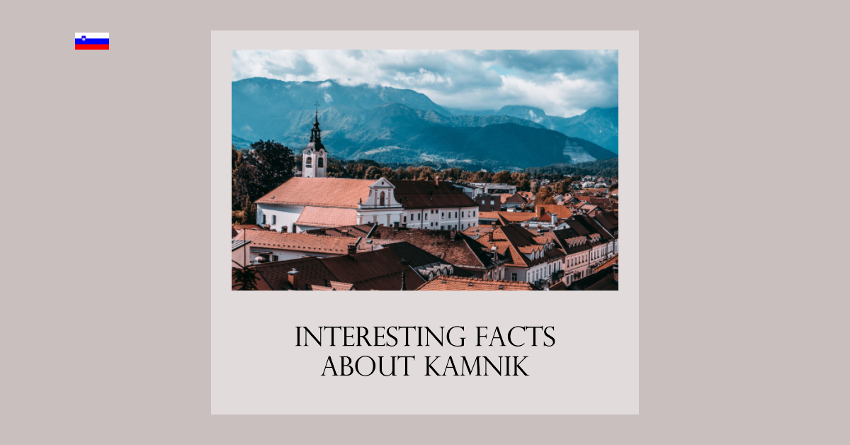
10 Interesting Facts About Kamnik, Slovenia
Facts About Kamnik Kamnik Fast Information Kamnik Information Traditional region Upper Carniola Elevation 380.5 m (1,248.4 ft) Total Area 9.1 km2 (3.5 sq mi) Activities Little Castle, Arboretum, Zaprice Castle, Rudolf Maister’s Birth House Official Website https://www.visitkamnik.com/
-
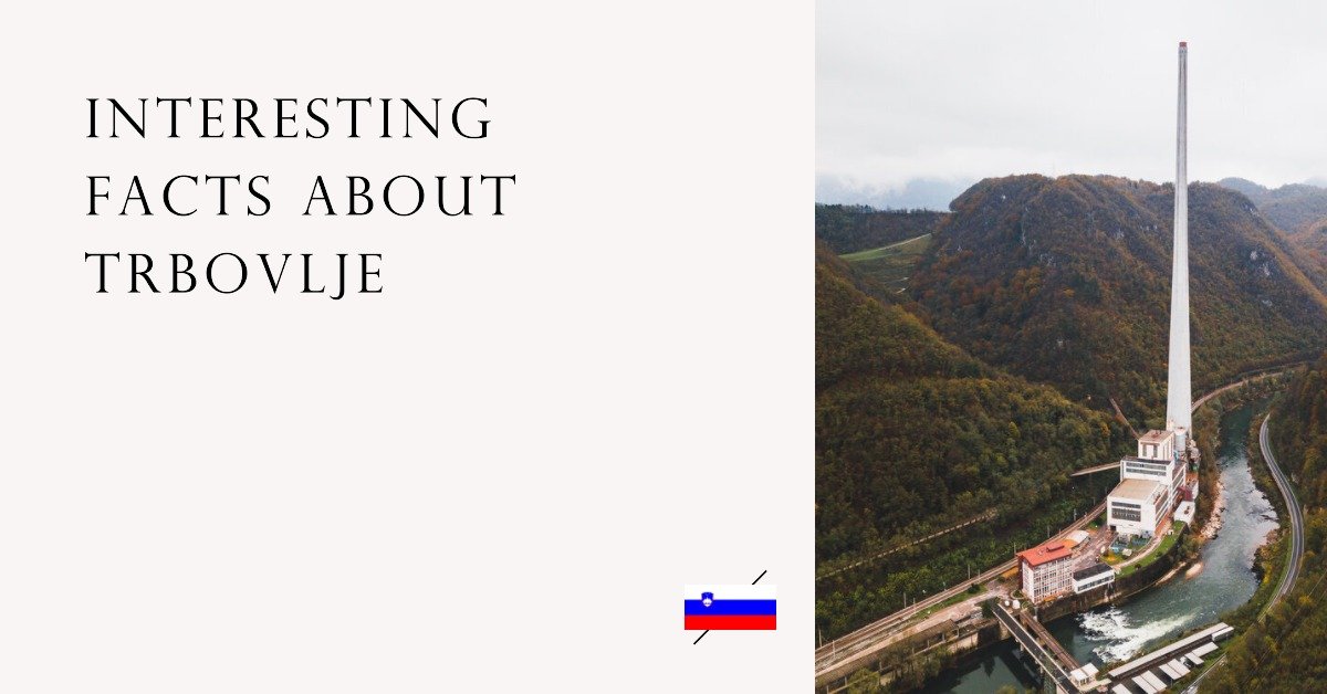
10 Interesting Facts About Trbovlje
Facts About Trbovlje Trbovlje Information Trbovlje Information Settled 1220s Incorporated 1850 Municipality of Trbovlje Trbovlje Coordinates: 46°09′N 15°03′E Official Website https://www.trbovlje.si/ Learn More about the Municipality Of Trbovlje
-
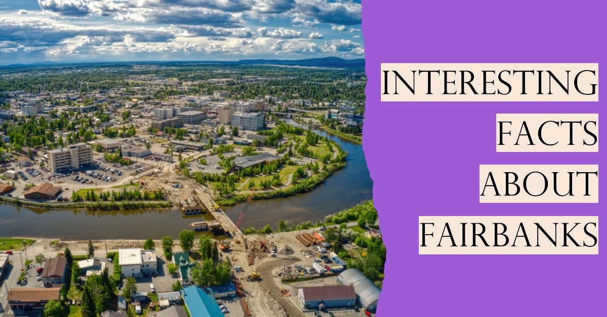
30 Interesting Facts About Fairbanks
Facts About Fairbanks Fast Fairbanks Facts Fairbanks City Information Named for Charles W. Fairbanks Founded by Elbridge Truman Barnette Incorporated November 10, 1903 Population Estimation 32,107 Median Family Income $78,321 Elevation 446 ft (136 m) Time zone UTC−9 (AKST) State Alaska Borough Fairbanks North Star
-
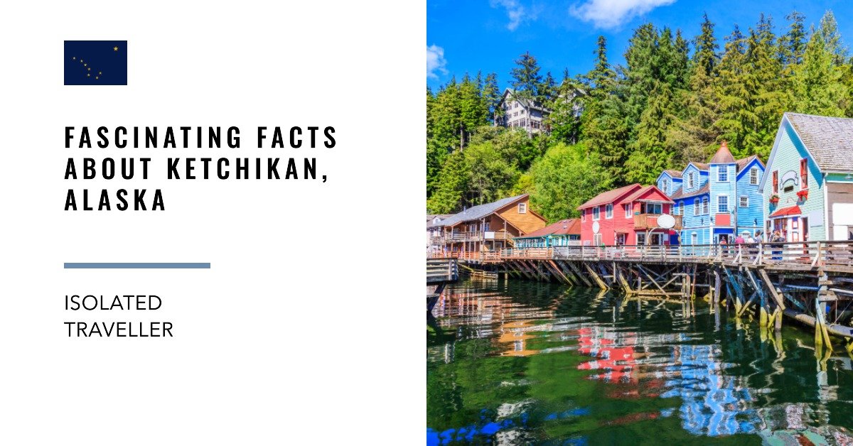
10 Interesting Facts About Ketchikan, Alaska
Ketchikan is a city in the state of Alaska, United States. It is located on the Tongass Narrows, an arm of the Inside Passage, about 275 miles southeast of Juneau.
-
10 Interesting Facts About Juneau, Alaska
Facts About Juneau Fast Facts Juneau City Information Name City and Borough of Juneau / Dzánti K’ihéeni Founded by Richard Harris and Joe Juneau Elevation 33 ft / 10 m Area 2, 593.6 square miles of land and 487.6 square miles of water. Median Family Income $111,886 Total Population 31,973 Average Age of the Population…

